


KML Map app for iPhone and iPad
Developer: Mark Carlotto
First release : 28 Dec 2009
App size: 6.63 Mb
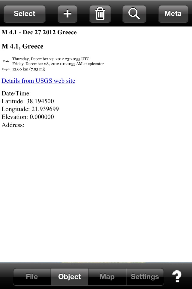
Keyhole markup language (KML) is a standard format used by many other mapping and navigation tools to represent geographical information. KML Map lets you create, display, and store KML map data and attached media content (often called metadata) on the iPhone/iPod Touch. Use KML Map to view photographs on maps from the location and direction they were taken, to create your own custom maps containing point, line, and polygonal data, to display topographic maps and ground overlays on top of map layers, to visualize scientific data and metadata for a variety of applications, and much more.
Here are some of the features of KML Map:
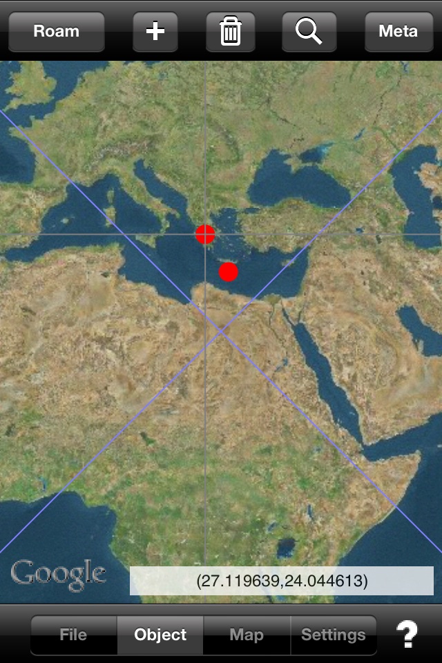
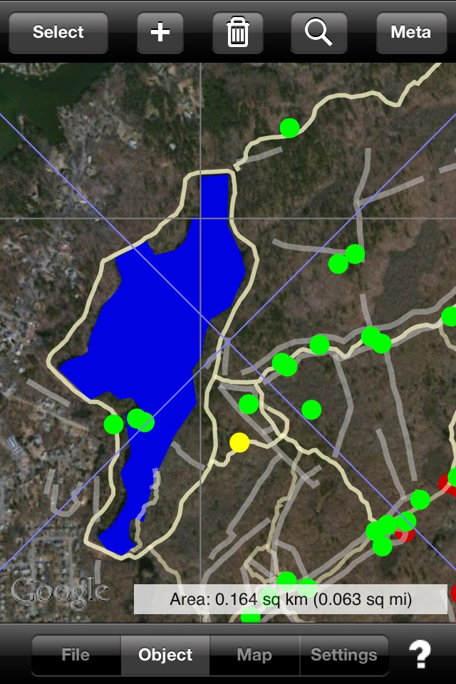
•Display KML point, line, and polygonal features, ground and photo overlays.
•Standard north up or rotating map that points in your look direction.
•Display KML content from Safari or embedded in email. Just click and see the data in KML Map.
•Add new map features.
•Assign address information to new objects using reverse geocoding.
•Elevation data is downloaded from global terrain data server (not GPS) for consistency.
•Display ground overlays (e.g., your own maps and images) over base maps/images
•Photo overlays are rendered on a map from the location and direction they were taken.
•Supports multiple, variable-transparency map layers
•Read compressed KMZ files
•Transfer files between KML Map and your computer using iTunes File Sharing
•Download KML and KMZ content from network URLs
•Supports standard and custom pushpins/placemark icons
•Shows/hides names on map
•Quickly find an object of interest in the current map layer by name
•Display full HTML content contained in CDATA tag (text, pictures, sound files, or movies)
Important Notice
KML Map understands a subset of the KML language, specifically points, line strings, and polygons (without holes). It can display ground overlays (LatLonBox format only) and photo overlays. HTML contained within CDATA tags (including pictures, sound files, and video) are rendered in a web view window. Files containing unsupported tags will not load. File sizes should be limited to 5-7 Mbytes. If the file is too large KML Map will quit. The size of files that can be emailed is limited by the operating system. KML Map also reads compressed KML or KMZ files. However, depending on the internal structure and contents of the file, KML Map may only be able to display one KMZ file at a time.
N.B. Continued use of GPS running in the background can dramatically decrease battery life.